Cold Blast Hitting Hobart And Potential Snow On The East Coast
A severe weather warning
Brace yourselves Hobartians as a polar ice blast is about to hit our state over the next coming days.
The icy blast is currently moving from continental Antarctica and making its way to Hobart and the east coast.
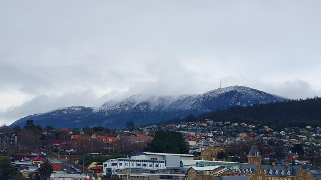
You might have noticed that kunanyi / Mount Wellington has a lovely cover of snow from Monday morning which is expected to increase.
Alex Melitsis, the severe weather meteorologist with the Bureau of Meteorology based in Hobart, has given some insight on the current severe weather systems occurring over Tasmania.
“We started off with some light snow fall down to low levels on Sunday night with the real gnarly weather kicking off on Tuesday evening”
There are several severe weather warnings being issued in the state, which are expected to change over the next couple of days as the weather system continues to move.
The Bureau expects to see snow levels gradually rise to about 500m above sea level with precipitation building from Tuesday night to Wednesday morning.
Alex says “this is where we will likely see some heavy snowfall until late Wednesday afternoon, this being the best time to view the spectacular snowfall on kunanyi / Mount Wellington”
This type of weather system is really rare with a unique low pressure system sitting off the east coast of Tasmania, pushing cold south easterly winds over the east coast.
The winds will bring unusual snow to parts of the east coast like the mountain ranges behind Freycinet, which is expected to also look quite spectacular if the current systems forecasted occur.
A reminder to all bushwalkers to be prepared for the cold weather expected and heavy winds that are forecasted especially when walking on the east coast.
Catch the full interview here: