How well do you know this drought?
See the drought map
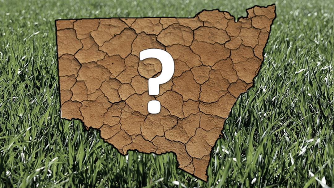
How well do you know the areas of our state that are in drought? Ever wondered how close it is to you or if other areas have it worse? The Department of Primary Industries has a Combined Drought Indicator Map that is kept up to date with the latest data on which areas are:
- Affected by Drought
- In Drought
- Suffering Intense Drought
- Recovering
- Not in Drought
This is the map based on data up to the 9th of October 2019 but for the latest map go to edis.dpi.nsw.gov.au

The NSW government is offering fee waivers for various aspects of those operating in primary industries depending on the area you fall into based on the Combined Drought Indicator Map.
See your local Service NSW location or even get in touch with NSW Fair Trading on 13 32 20 who can help you with license issuing and if you’re eligible for the waiver.