Severe Thunderstorms Headed To South-East Queensland
Brace for wild weather!
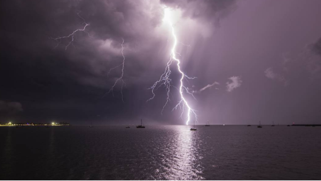
A severe thunderstorm is set to hit south-east Queensland this afternoon, bringing lots of rain, damaging winds, hail and a potential tornado.
Queensland Bureau of Meteorology says severe thunderstorms that were cancelled earlier today in Brisbane, Moreton Bay and Darling Downs are likely to re-develop in the afternoon affecting areas including Maroochydore, Gympie, Caboolture, Hervey Bay, Cherbourg and Redcliffe. It could lead to flash flooding in the warning area over the next several hours as well.
"The cluster is breaking up now but a second round of storms is likely to erupt again this afternoon over a broad area from the NSW border to the southern Capricornia and west to the Maranoa, with a potential for supercell activity in the southeast corner including destructive winds and even giant hail," meteorologist Shane Kennedy said.
Meteorologist Jonathan Howe from BoM earlier warned tornadoes have been produced by dangerous weather cells like this one.
"Today is tricky because there is a small scale phenomenon but the ingredients for today do line up. So we can't predict where exactly they will form but the environment is conducive to seeing the supercell thunderstorms which do produce their tornado events,” Mr Howe said.
Get the latest breaking news from SCA newsrooms around Australia. Short, simple and everything you need to know.